Morphogenetic types and biotopes
Introduction
Geodiversity mapping has become an established tool for assessing the value of the abiotic part of the landscape. We apply two methods, which have both been developed in the mountains of Vorarlberg and Liechtenstein, but have a wider application in alpine areas. The first is a region‐wide index‐based mapping that is designed with the purpose of generating, in a preliminary evaluation, an inventory of clusters of high geodiversity. The second method comprises detailed geomorphological mapping at a local scale and supports landscape planning and management by identifying potential potential geoconservation sites. The latter approach also allows for the evaluation of the relationship between morphogenetic types and biotope data.
Comparing morphogenetic types and biotopes
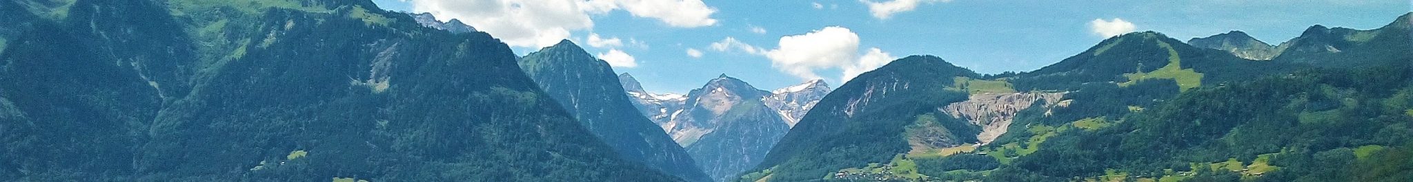
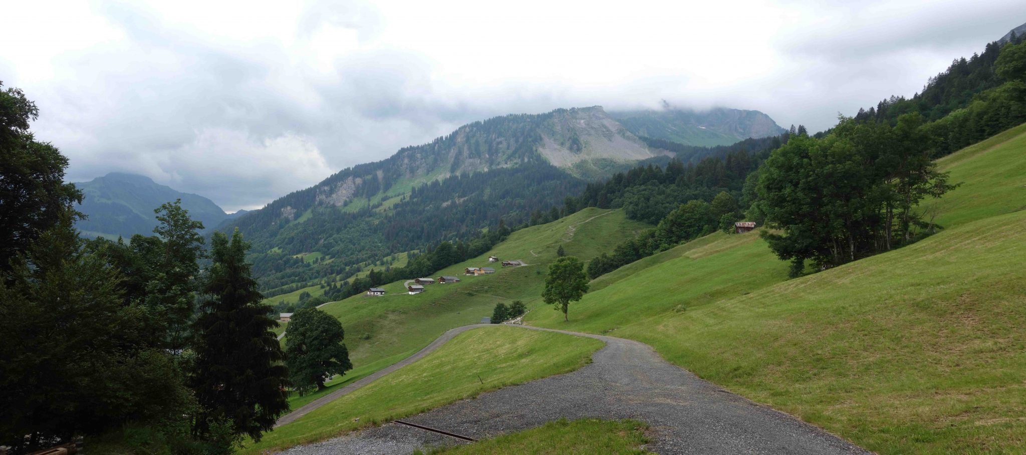
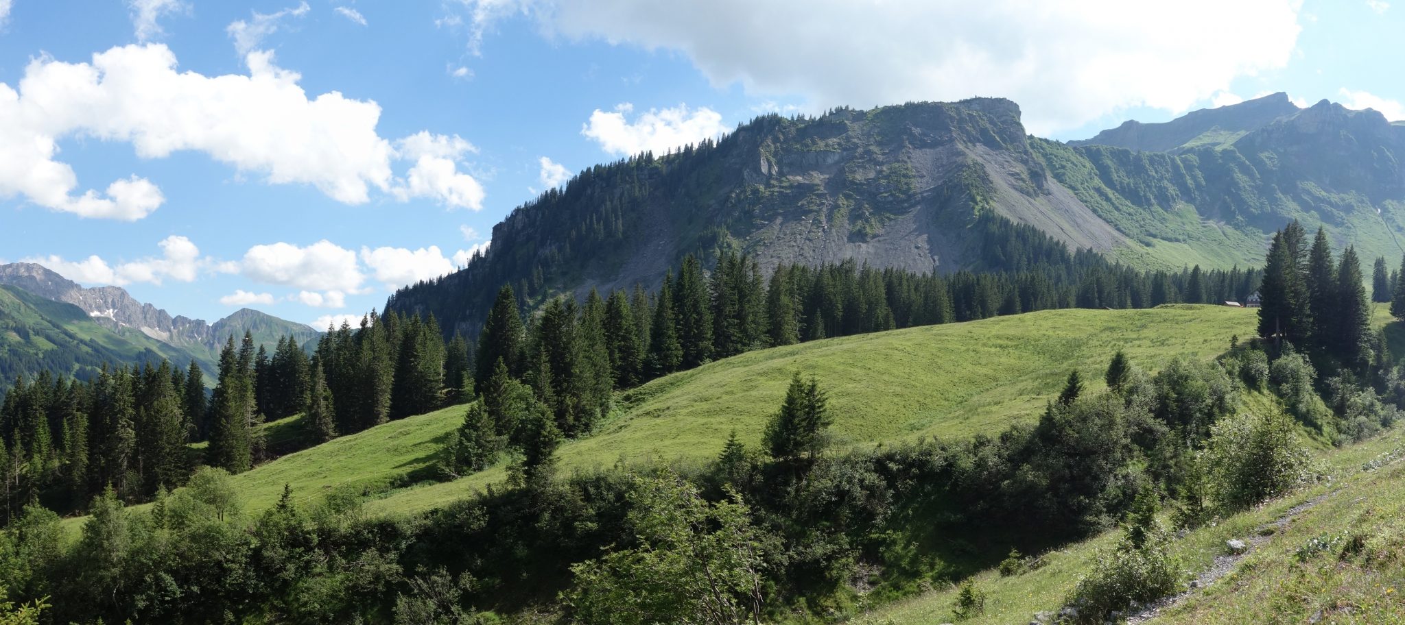
The geodiversity-index map of Vorarlberg can be used to rapidly assess the occurrence of clusters of substantial geodiversity, which subsequently can be evaluated in detail in a landform‐based approach. We have selected a small area near the village of Au (see photos below) in central Vorarlberg as an example of the latter. Using a Tier-3 digital geomorphological map of the case study area as the basis for the geoconservation assessment, the various classes of the legend were weighted and ranked in an automated GIS procedure with four factors: scientific relevance and frequency of occurrence (primary factors) and vulnerability and disturbance (secondary factors). Three levels of importance for geoconservation potential are differentiated (low, medium and high significance) and displayed in a map (see below) on which the highly ranked units are identified as potential sites for geoconservation. In a next step, a comparison of the morphogenetic types and existing biotope data of the area has been made. It is shown that most biotopes occur together with specific morphogenetic types. It appears that the distinction between “wet” and “dry” mass‐movement processes is an important factor, together with slope steepness and material properties, for effectively characterizing the natural biotopes.
Note: the biotope data (German: aggregierte Lebensraumtypen) have kindly been made available by Abteilung IVe Umwelt und Klimaschutz, Amt der Vorarlberger Landesregierung (Bregenz, Vorarlberg).
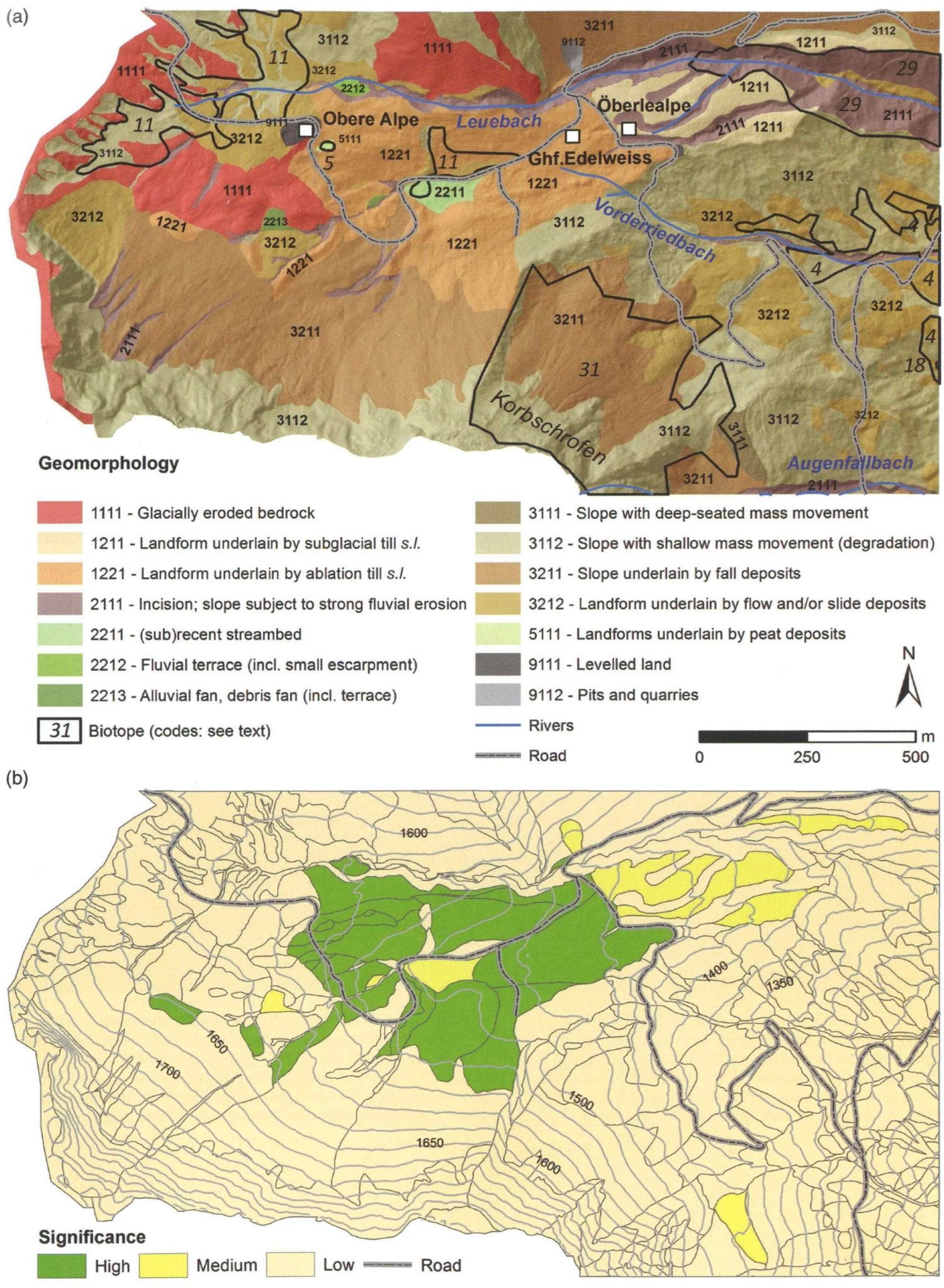
Digital geomorphological map (top) and potential geoconservation (bottom) map of the Au West area. The geomorphological map is displayed as a semi-transparent overlay on a DEM-derived hillshade map. The location of the biotope units is indicated. The potential geoconservation map is shown on a background of 25 m contour lines. Refer to Seijmonsbergen et al. (2018) for further explanation.
Literature
If you need assistance in getting access to this publication, please contact us at info@rfase.org
Seijmonsbergen, A.C., Jong, M.G.G. De, Hagendoorn, B., Oostermeijer, J.G.B. and Rijsdijk, K.F., 2018, Geodiversity mapping in alpine areas. In: Hoorn, C., Perrigo, A. and Antonelli, A. (eds.), Mountains, climate and biodiversity, 155-170. John Wiley & Sons, Hoboken, NJ.