Research Foundation for Alpine and Subalpine Environments
The Research Foundation for Alpine and Subalpine Environments (RFASE) was founded in 2001 with the objectives of collecting, transmitting and exchanging scientific knowledge of alpine and subalpine landscapes through research and teaching. The focus is on the abiotic components of the landscape, with links to vegetation and human activity.
Geomorphology and sedimentology take a central position in our research, which started with geomorpholocal mapping by the University of Amsterdam in the State of Vorarlberg, Austria, in the mid-1950s. Topics of special interest are: multi-level digital geomorphological mapping, geodiversity & geoconservation, and the relations between the abiotic landscape and vegetation. The long-term interest of RFASE in the glacial history of Vorarlberg and the Alpine foreland of southern Germany has resulted in new publications.
The following paper in the Zeitschrift der Deutschen Gesellschaft für Geowissenschaften (Journal of Applied and Regional Geology) is now available online: The extent of the Rhine Glacier in eastern Upper Swabia (southern Germany) at the height of the Last Glacial Maximum: new morphological constraints from high-resolution digital terrain models by Mat G.G. De Jong, Hartmut Seyfried, Theo Simon, Roland Banzhaf, Andreas Schwab, Karl-Heinz Holuba and Thomas Müller. The online version is now available via: https://doi.org/10.1127/zdgg/2025/0456. High-resolution versions of the figures reside in: https://doi.org/10.18419/DARUS-5195.
Highlights of this research and its new findings were presented by Andreas Schwab, Hartmut Seyfried, Roland Banzhaf, and Mat De Jong during a public lecture in Weingarten (Baden-Württemberg) on April 29, 2026. The title of the lecture was Der Waldburgrücken – Ein einzigartiges Archiv der würmeiszeitlichen Naturgeschichte Oberschwabens (“The Waldburg Ridge – a unique archive of the natural history of the Würm glaciation in Upper Swabia”). The lecture was well attended and sparked a lively discussion on the role of geological archives in geoconservation.
NEW PUBLICATION on the construon of a 3-D model of the basin fill of a small peat bog, by RFASE and co-authors: Die spätglaziale und holozäne Beckenfüllung des Moores »Turbastall« bei Schlins (Vorarlberg, Österreich). www.inatura.at/forschung-online/ForschOn_2024_123_0001-0016.pdf
NEW PUBLICATION on nature conservation in Upper Swabia (southern Germany), co-authored by Mat De Jong: Der Waldburgrücken – ein einzigartiges Archiv der würmeiszeitlichen Naturgeschichte Oberschwabens. It is published in the Jahresheft 2024 of the Bund Naturschutz Oberschwaben e.V. (BNO). BNO_Jahresheft_Waldburgrücken
NEW REPORT entitled The geodiverse landscapes of the Saminatal, the Galinatal and the northwestern Gamptal (Vorarlberg and Liechtenstein), prepared for the Samina Stiftung (www.saminastiftung.li) by Mat De Jong and Harry Seijmonsbergen. The German version of the report is now available in the public domain: Report.
NEW PUBLICATION on age dating of landforms, by RFASE and co-authors: 10Be age datings of Late Würmian erratics from Vorarlberg (Austria) and southern Germany. https://www.inatura.at/forschung-online/ForschOn_2023_106_0001-0008.pdf
NEW PUBLICATION on landslides in Vorarlberg, co-authored by Harry Seijmonsbergen: Steger, S., E. Schmalz, A.C. Seijmonsbergen & T. Glade, T. (2022): The Walgau: A landscape shaped by landslides. In: Embleton-Hamann, C. (Ed.), Landscapes and landforms of Austria, 237-251. Springer Nature Switzerland AG. https://doi.org/10.1007/978-3-030-92815-5
NEW STORYMAP, presenting recent results of research in Vorarlberg: How to identify valuable landscapes, by combining geomorphological and biotope data. Relevant to researchers, policy-makers and land-use planners – and to those who simply enjoy the beauty of the mountains.
PRESENTATION on the current research activities of RFASE given to Lulofs, the Alumni Association for Physical Geography and Earth Sciences of the University of Amsterdam, on 21th June 2021, is now available on YouTube: https://youtu.be/aELSzK6a63A
NEW RFASE PUBLICATION and STORYMAP on geomorphological mapping: Hierarchical geomorphological mapping in mountainous areas. Journal of Maps, 17:2, 214-224, 2021. The digital paper and supplemental data are available at: https://doi.org/10.1080/17445647.2021.1897047 The dynamic nature of the mapping method is illustrated in a storymap: https://arcg.is/Xjvy4
See also the significant UPDATE of the deglaciation history of the Bregenzerwald and adjacent areas.
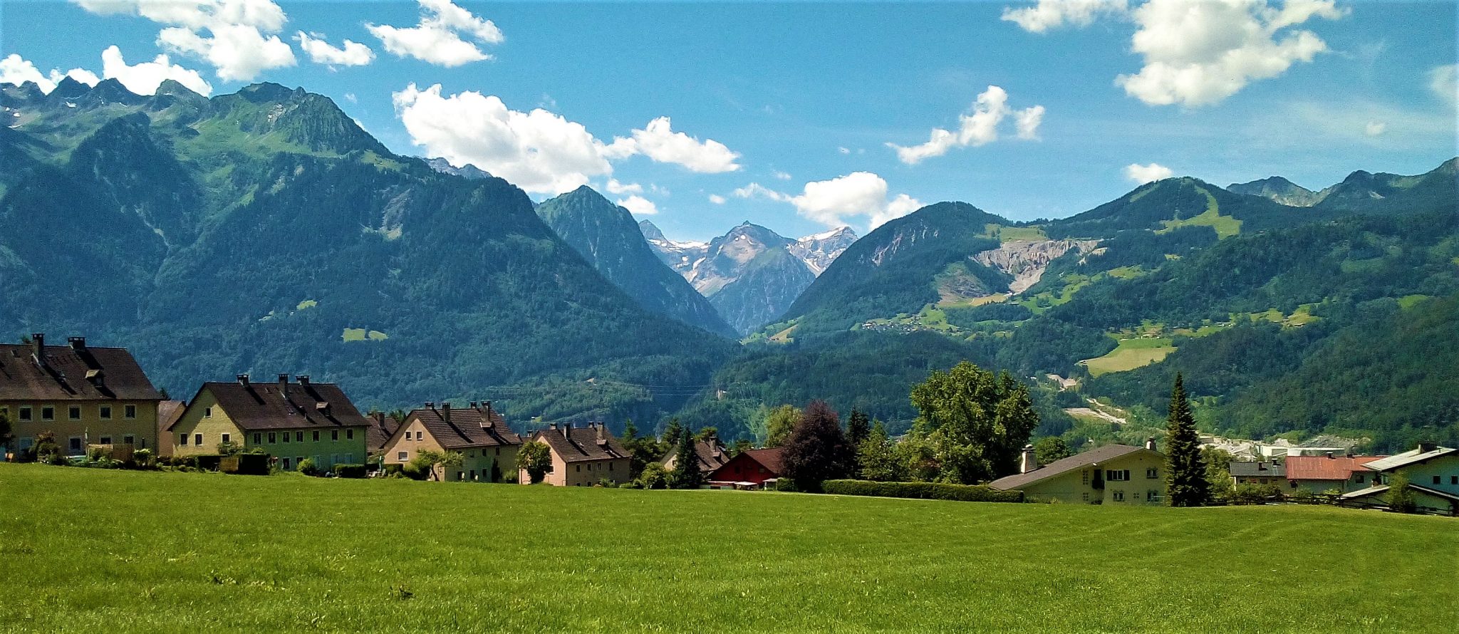
The scenery of the mountains of Vorarlberg is beautiful. This is not in the least due to the high diversity of the landscapes – the product of the interaction of endogenic process, which find their origin within the earth and work on relatively long time scale, and exogenic processes, which act at or near the earth’s surface on relatively short time scales. Many landforms, small and large, tell the story of the origin of the mountain landscapes. Some of these are spectacular, well-known and well-documented. Others are easily overlooked by non-professionals, but are equally important as witnesses of the earth’s history.
The RFASE staff comprises a small team of geoscience professionals with broad experience in academia and the private sector. Short-term support is given by young professionals and students of the University of Amsterdam. The long-term cooperation with inatura – Erlebnis Naturschau Dornbirn is invaluable for RFASE.