Highlights of Vorarlberg and Liechtenstein
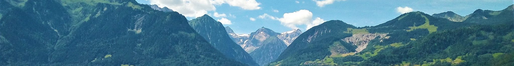
The landscapes of Vorarlberg and Liechtenstein vary widely over relatively short distances. Geologically, Vorarlberg and Liechtenstein are situated at the junction of the Western and Eastern Alps. Geographically, the area extends from the high-alpine mountains of the Silvretta, with peaks over 3000 m, to the flat and wide valley floor of the Rhine at altitudes of about 400-440 m. A variety of geomorphological processes acting on a diverse geological substratum and dramatic climate changes over a relatively short time span have inevitably contributed to a wide range of geodiversity. Landforms and deposits created by glacial s.l processes, fluvial activity, mass movements, periglacial processes, peat formation and karst abound.
Over the last decades Vorarlberg has changed from a relatively backward mountain region to a modern society, with a growing pressure on the landscape through what generally may be called urbanization. Slowly but steadily, the diversity of landforms disappears from its environment. For example, the landforms of the Rhine Valley are turned into housing developments, the occasional erratic block is towed away from a garden, the hummocks of a moraine landscape are leveled for a ski run. At the same time, geodiversity and geoconservation are coming into the limelight: the intrinsic values of landforms and landscapes are becoming understood and appreciated, similar to our appreciation of biodiversity. Concurrently, there is a growing need for land-planning policy and management tools which take into account geodiversity. The work by RFASE on geodiversity and geoconservation, in terms of development of methodology and actual inventory, is a contribution to meeting this need.
The research by RFASE does not focus on unique or spectacular geomorphological features or groups of these only, but covers the total landscape, i.e. also the ‘common’ sites in which people, animals and plants live. The assessment of the geoconservation potential is done for all landforms, i.e. inventories are made for entire selected areas. The landforms are assessed individually using a set of quantitative and qualitative weighting and ranking criteria, the most important of which are the geo-ecological factors scientific relevance and frequency of occurrence.
The valuation of scientific relevance is based on the following considerations. A certain type of landform or deposit bears special value in the reconstruction of the landscape development or, more specifically, contains information on the climatic conditions at the time of formation. It, hence, contributes to a better understanding of the processes and patterns of climate change. On a different note, a landform or deposit can be a ‘textbook example’ of a geomorphological process or group of processes and as such be scientifically relevant. Unsurprisingly, the group of glacial landforms and deposits scores very high on scientific relevance in the mountainous areas of Vorarlberg and Liechtenstein.
The aspect of beauty of a landscape, landscape scenery, is not a factor in our assessment – which may be surprising, considering that the Alps, and not in the least Vorarlberg and Liechtenstein, attract many visitors because of the beautiful scenery. Beauty refers to a visual appreciation of the combination of landform, vegetation and land use. As such it is rather subjective and difficult to capture in a classification. Our approach to geoconservation is based on geomorphology and deals with the abiotic component of the landscape only. Beauty, scenery, if at all, can therefore only be an additional trait in the assessment of geoconservation potential of the landforms, and the weight would be low.
Valuable landforms often occur in clusters, which adds to the value of the individual landform and to that of the association. A selection is presented here. The Gamperdonatal near Nenzinger Himmel, the mountains around Lech and those of Malbun show a high-alpine morphology, in which, among other features, moraines, meltwater deposits, fossil rock glaciers, sulphate (gypsum) karst landforms and deep-seated mass movements are classified as highly valuable landscape elements. Ice-marginal landforms and deposits created during the final stages of deglaciation at the end of last ice age abound in the lower topographic settings of the southern Walgau region between Nenzing and Gurtis (Mouth of the Gamperdonatal) and on the eastern flank of the Rhine valley in the municipalities of Götzis, Klaus, Fraxern and Weiler (Rhine Valley – Götzis, Klaus, Fraxern and Weiler). Ice-marginal landforms and deep-seated mass movements characterize the landscape of the northern Walgau region (Northern flank of the Walgau). All these landforms hold highly valuable information on the origin of the landscapes and the role of climate and climate change in landscape development.